Log in
All resources
Create a design
183,459 Free Images of Maps With Figures
maps in the library of congress
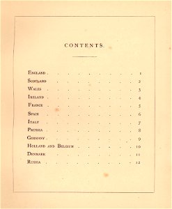
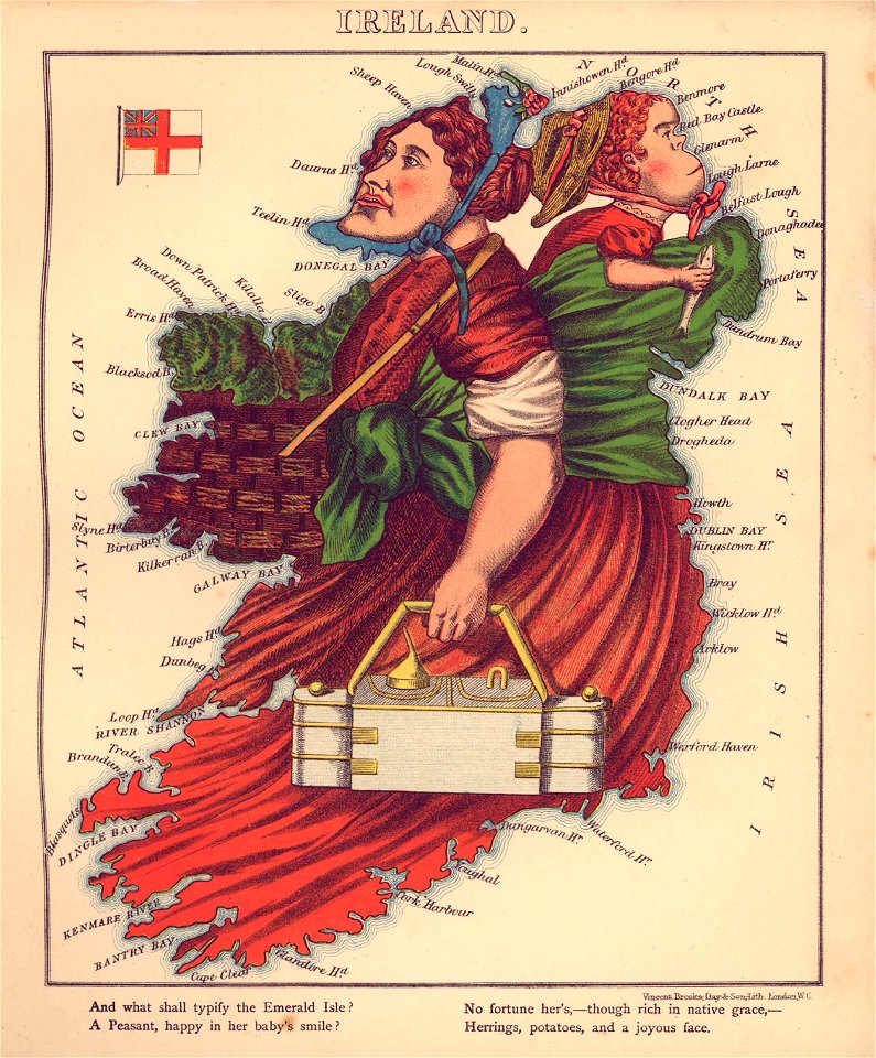
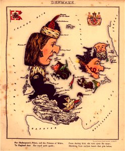
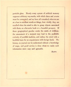
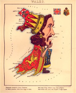
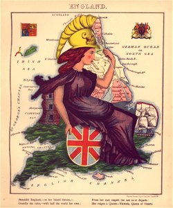
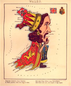
geographical fun - being humourous outlines of various countries
with an introduction and descriptive lines
maps by joseph hutchins colton
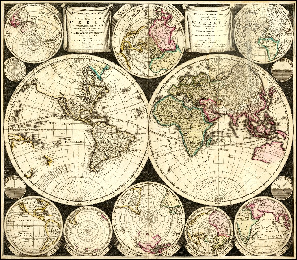
carolus allard
maps by george h. walker and company
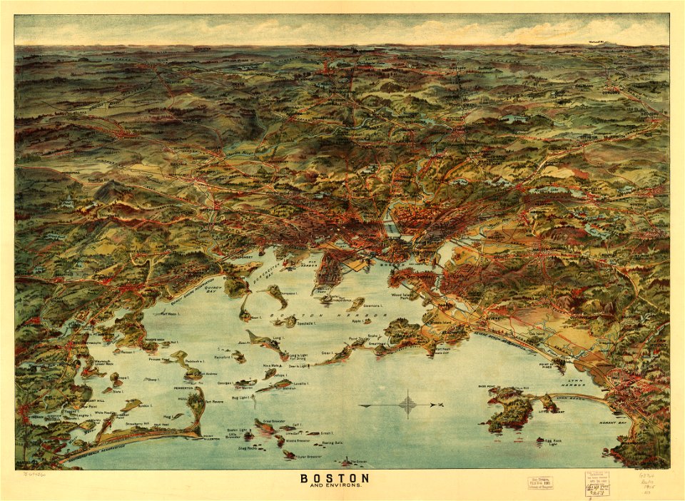
1900s maps of boston
david rumsey historical map collection
german-language maps
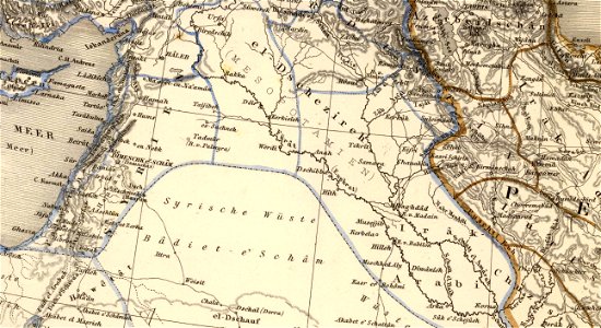
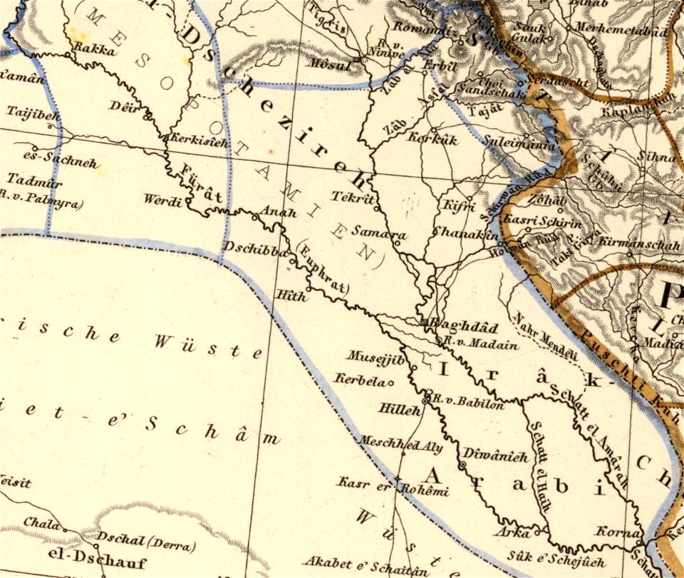
old maps of mesopotamia
geographical fun - being humourous outlines of various countries
maps in the library of congress
geographical fun - being humourous outlines of various countries
maps in the library of congress
geographical fun - being humourous outlines of various countries
maps in the library of congress
geographical fun - being humourous outlines of various countries
maps in the library of congress
geographical fun - being humourous outlines of various countries
maps in the library of congress
geographical fun - being humourous outlines of various countries
maps in the library of congress
geographical fun - being humourous outlines of various countries
maps in the library of congress
geographical fun - being humourous outlines of various countries
maps in the library of congress
geographical fun - being humourous outlines of various countries
maps in the library of congress
geographical fun - being humourous outlines of various countries
maps in the library of congress
geographical fun - being humourous outlines of various countries
maps in the library of congress
geographical fun - being humourous outlines of various countries
maps in the library of congress
geographical fun - being humourous outlines of various countries
maps in the library of congress
maps with cartouches
abraham goos
geographical fun - being humourous outlines of various countries
maps in the library of congress
geographical fun - being humourous outlines of various countries
maps in the library of congress
geographical fun - being humourous outlines of various countries
maps in the library of congress
geographical fun - being humourous outlines of various countries
maps in the library of congress
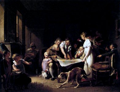
paintings by louis-léopold boilly
people with maps in art
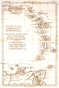
saint vincent and the grenadines
maps of isla margarita
color engravings
cornucopia
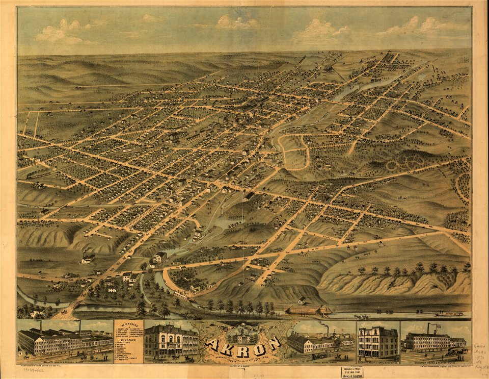
akron
ohio
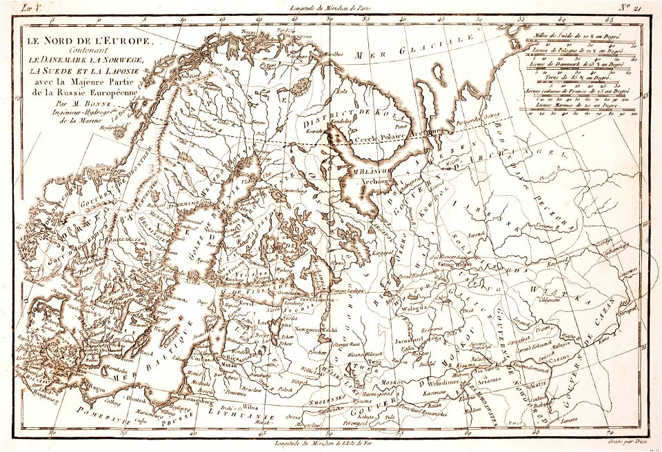
1780 maps of finland
1780 maps of norway
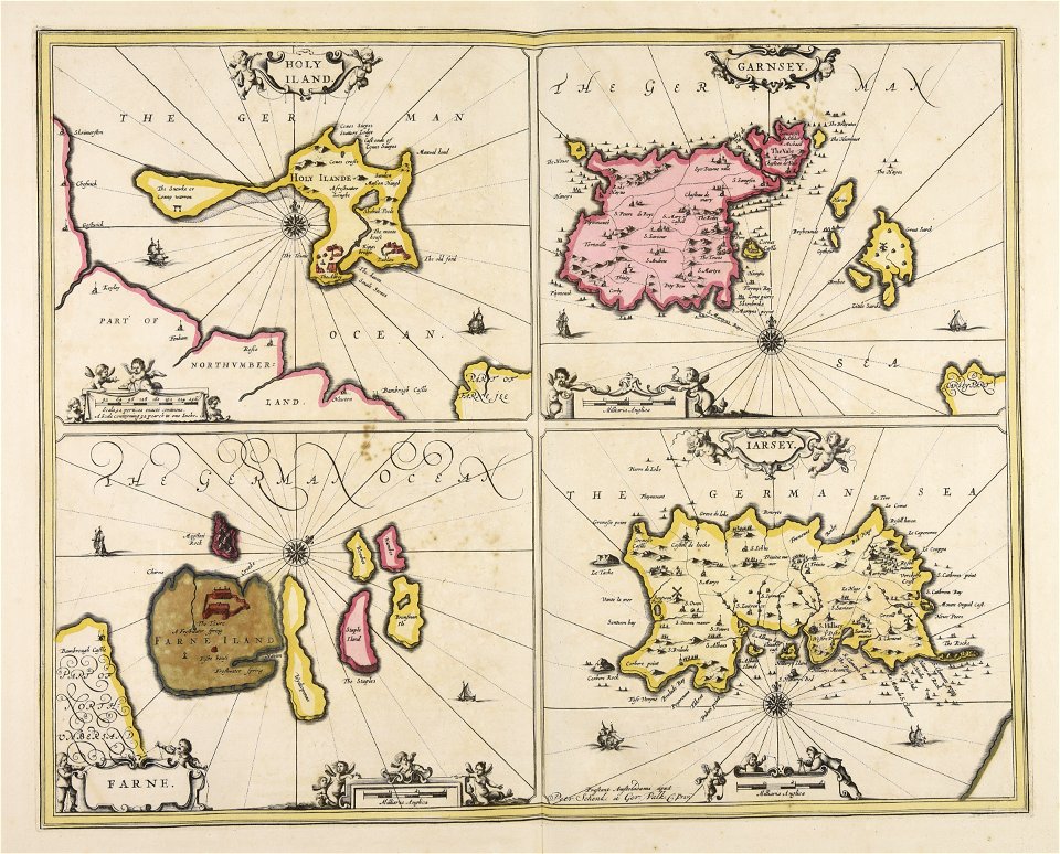
maps made in the 17th century
gerard valck
pictorial history of the russian war 1854-5-6 by george dodd
19th-century maps of the caucasus
old maps of finnmark
old maps of troms
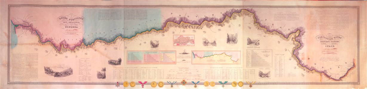
joseph james forrester
port wine
maps by george h. walker and company
maps in the library of congress
maps by george h. walker and company
maps in the library of congress
illinois
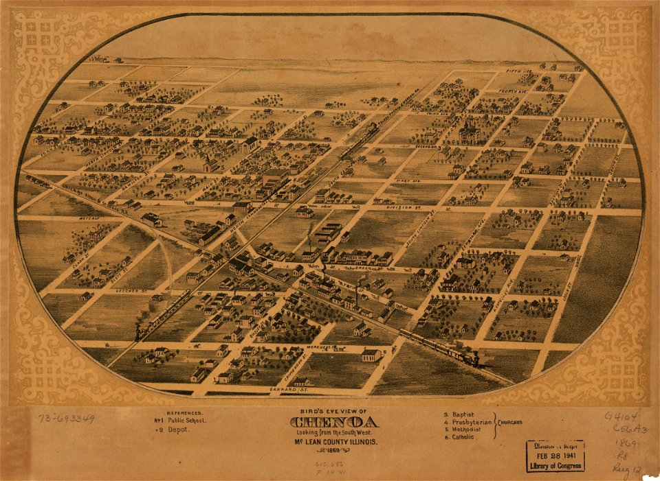
chenoa
illinois
chenoa
maps by george h. walker and company
maps in the library of congress
old maps of the saint lawrence river
history of quebec
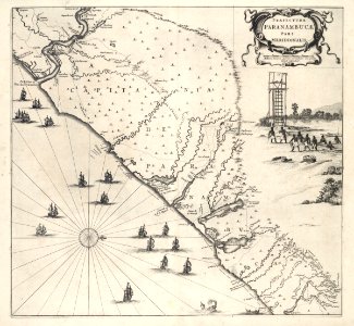
17th-century maps of brazil
old maps of pernambuco
old maps of the dutch east india company
1753 maps
old maps of mexico
veracruz
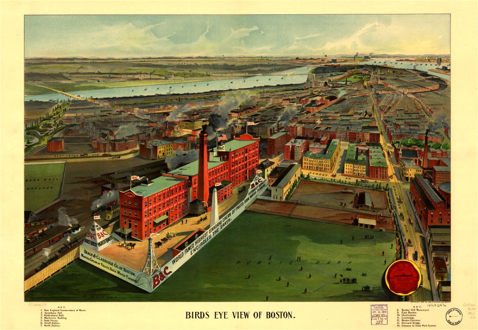
maps by george h. walker and company
maps in the library of congress
description of kingdom of georgia
its habits and canons
old maps of romania
old maps of moldova
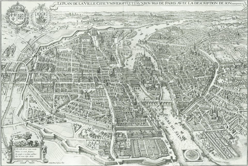
bird's eye view maps of paris
pictorial maps of paris
david rumsey historical map collection
german-language maps
david rumsey historical map collection
old maps of the middle east
david rumsey historical map collection
german-language maps
david rumsey historical map collection
german-language maps
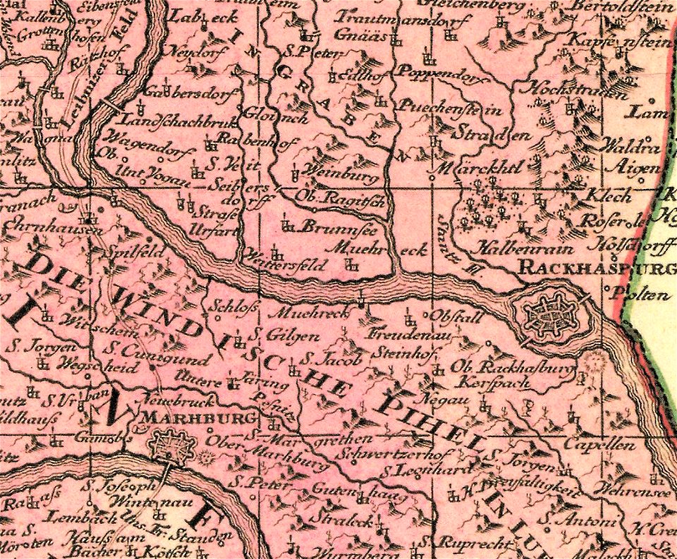
old maps of styria
slovene hills
old maps of the atlantic ocean
maps of the north atlantic
maps from the mechanical curator collection
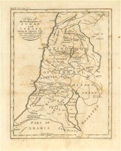
1800s maps of palestine
old maps of new york (state)
new york
louisville,
kentucky
old maps of new york (state)
new york city
french-language maps
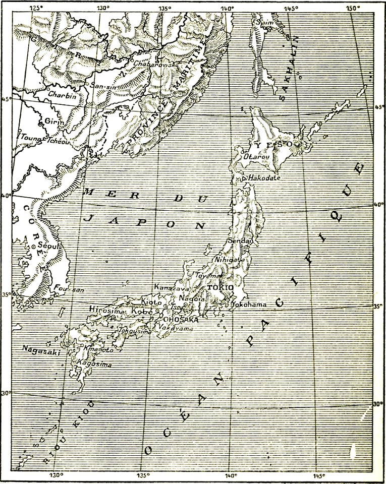
old maps of japan
maps by joseph hutchins colton
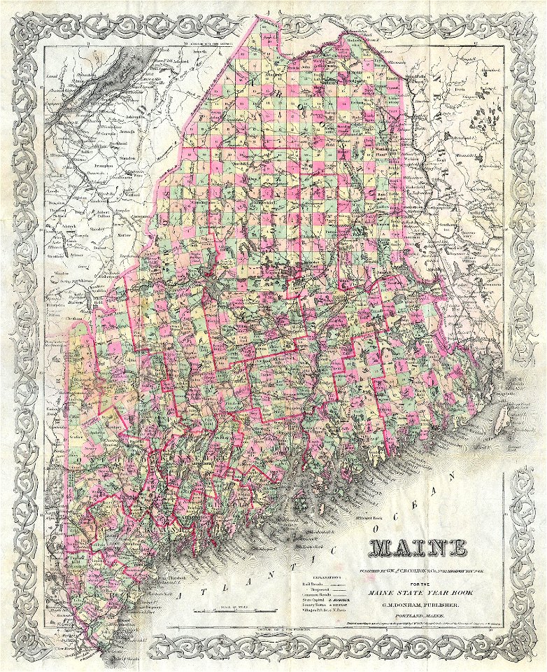
old maps of maine
old maps of luxembourg city
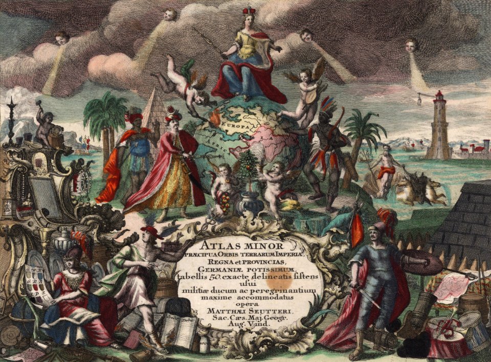
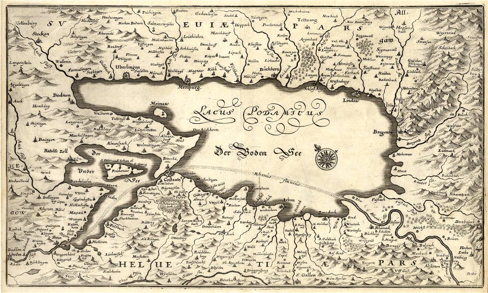
maps by matthäus seutter
18th-century maps of copenhagen
maps by matthäus seutter
old maps of papua new guinea
maps of bougainville
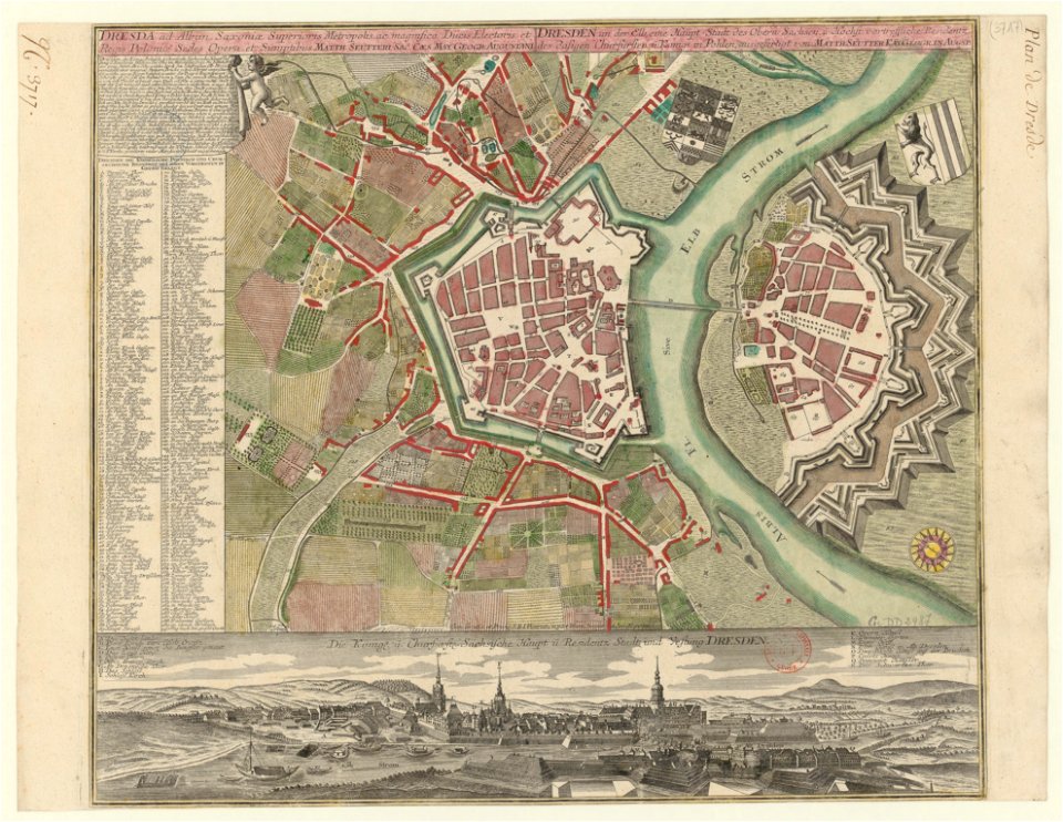
18th-century maps of dresden
maps by matthäus seutter
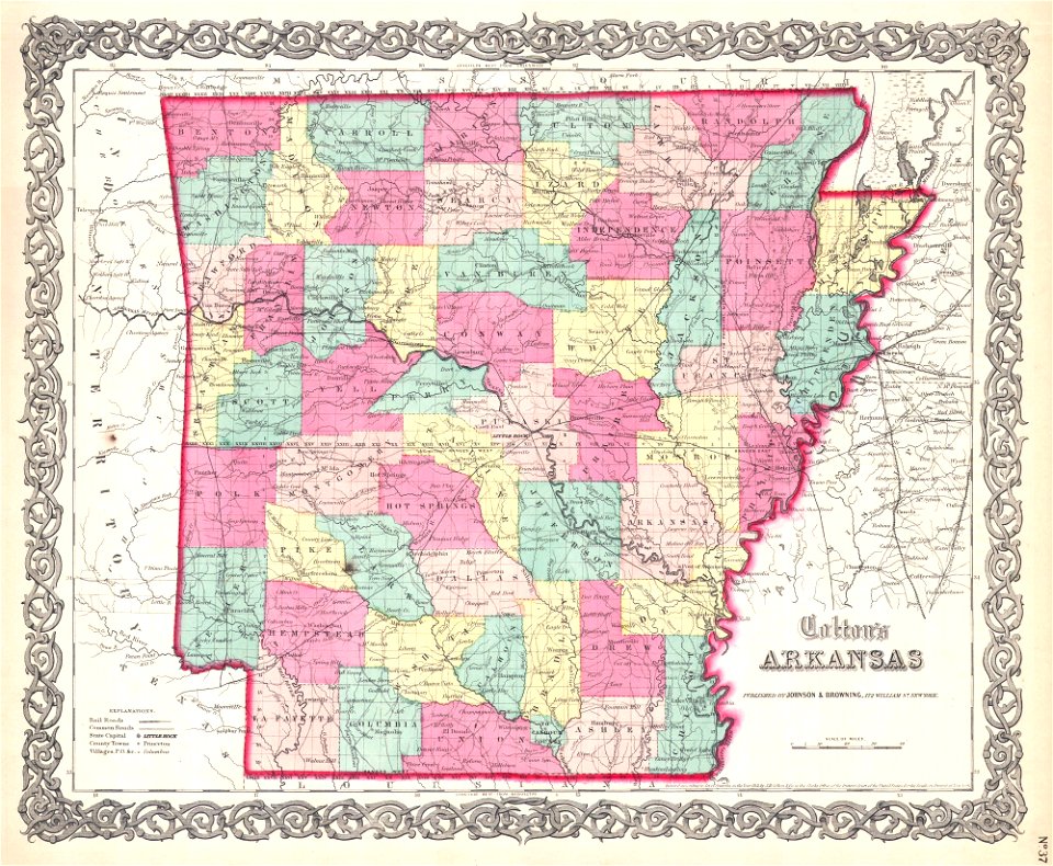
maps by joseph hutchins colton
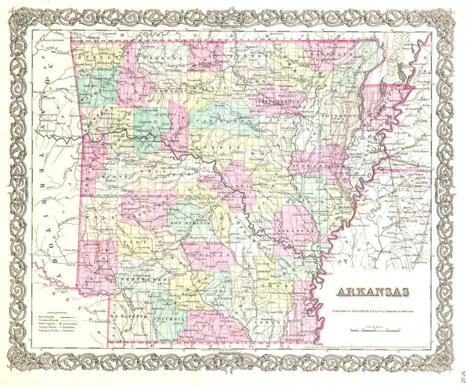
1855 maps of arkansas
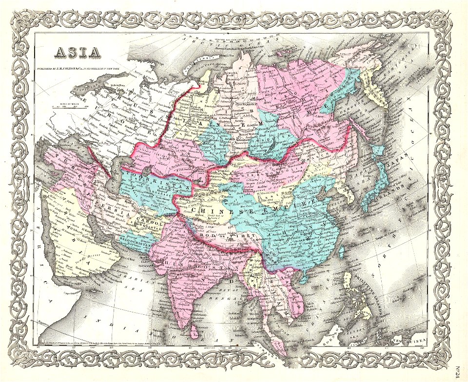
maps by joseph hutchins colton
1855 maps of asia
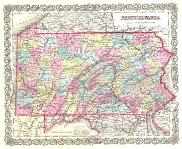
maps by joseph hutchins colton
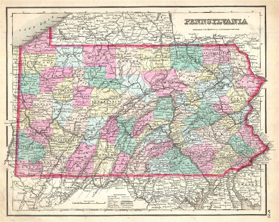
1855 maps of pennsylvania
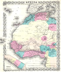
maps by joseph hutchins colton
1855 maps of africa
maps by joseph hutchins colton
1855 maps of iowa
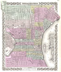
maps by joseph hutchins colton
1855 maps of philadelphia
maps by joseph hutchins colton
1857 maps of pennsylvania
maps by joseph hutchins colton
1855 maps of arkansas
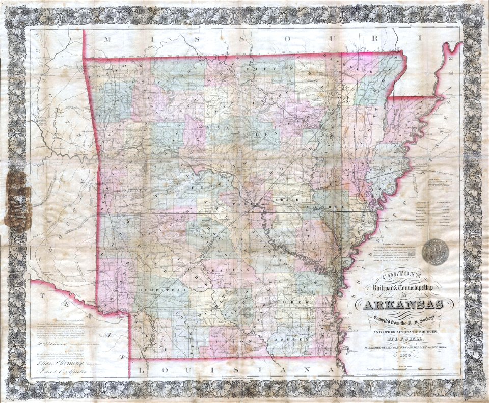
maps by joseph hutchins colton
1859 maps of arkansas
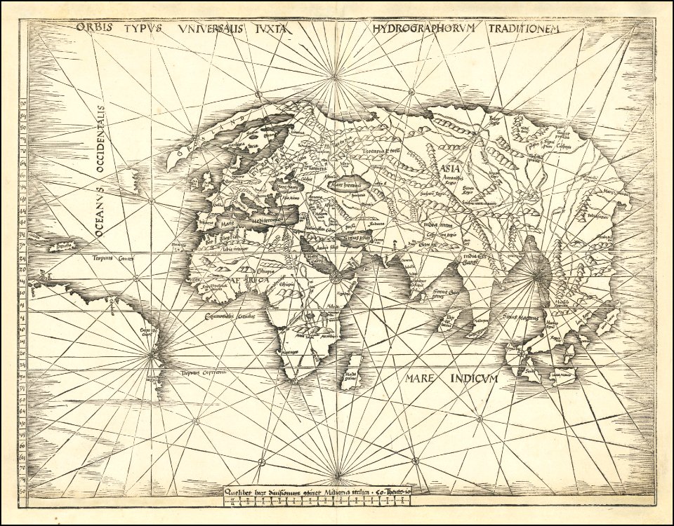
maps by martin waldseemüller
1510s maps of the world
1570s maps of the world
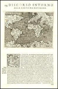
tommaso porcacchi
1570s maps of the world
tommaso porcacchi
carolus allard
1696 maps
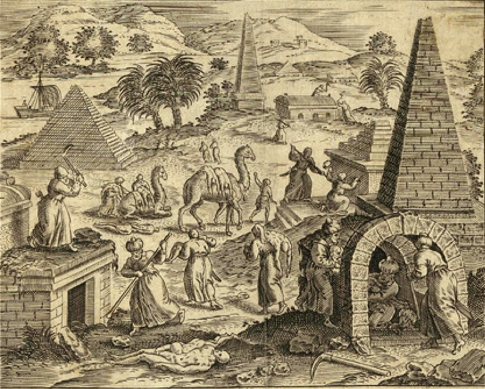
camels in art
1590 maps
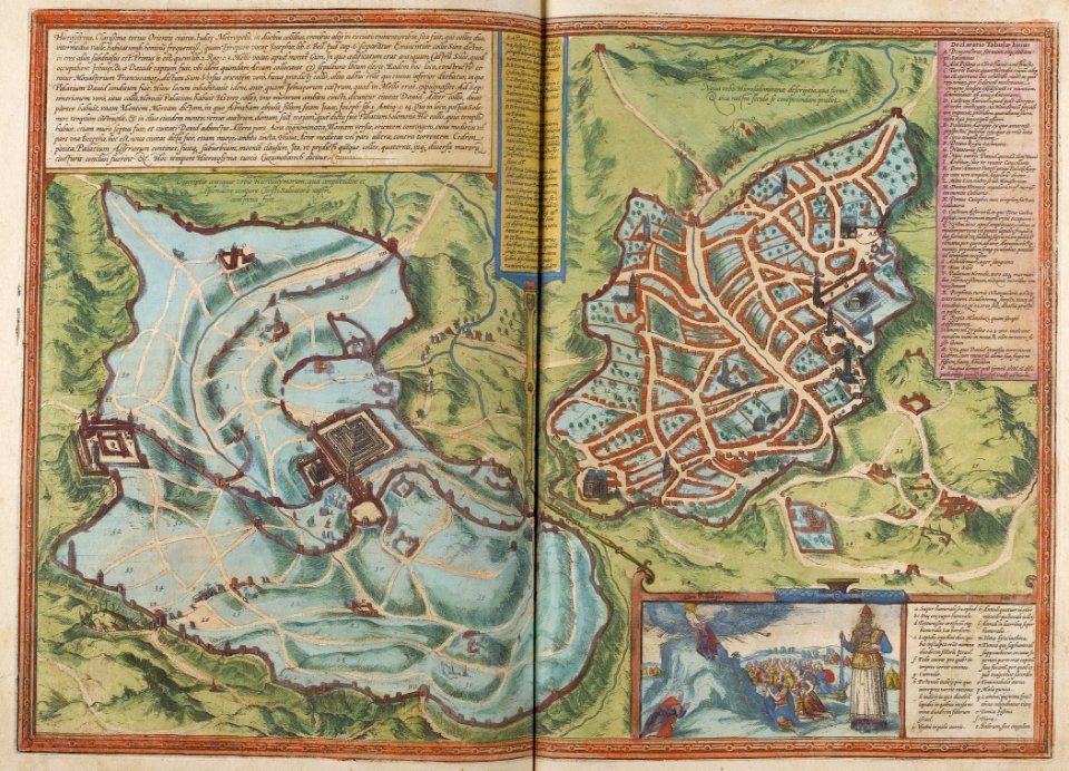
braun & hogenberg
1572 maps
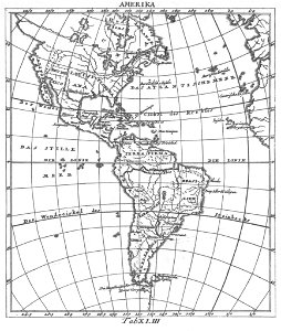
18th-century maps of the americas
elementarwerk
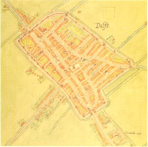
maps by jacob van deventer
old maps of delft
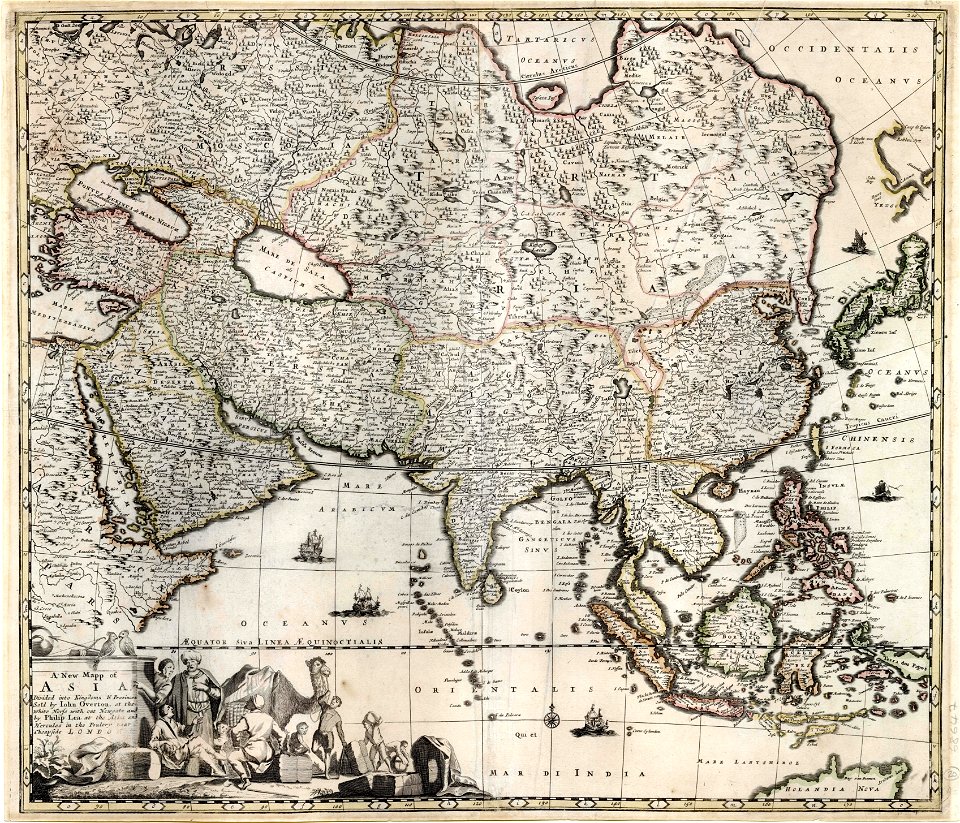
maps by frederick de wit
1680s maps of asia
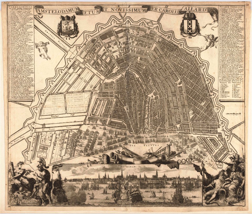
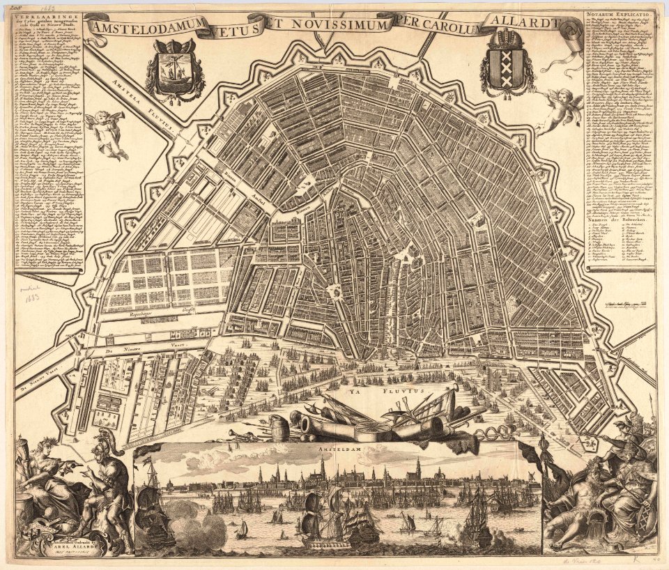
maps in the stadsarchief amsterdam
carolus allard
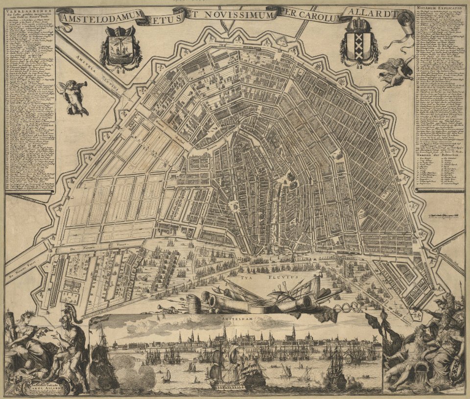
maps in the stadsarchief amsterdam
carolus allard
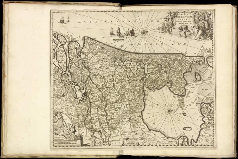
maps in the stadsarchief amsterdam
carolus allard
maps in the stadsarchief amsterdam
carolus allard
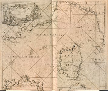
18th-century maps of liguria
old maps of corsica
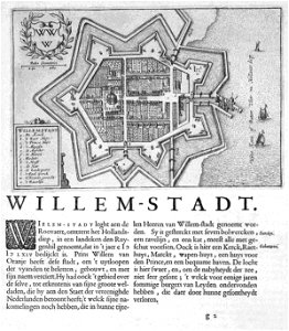
maps of the netherlands
fortification
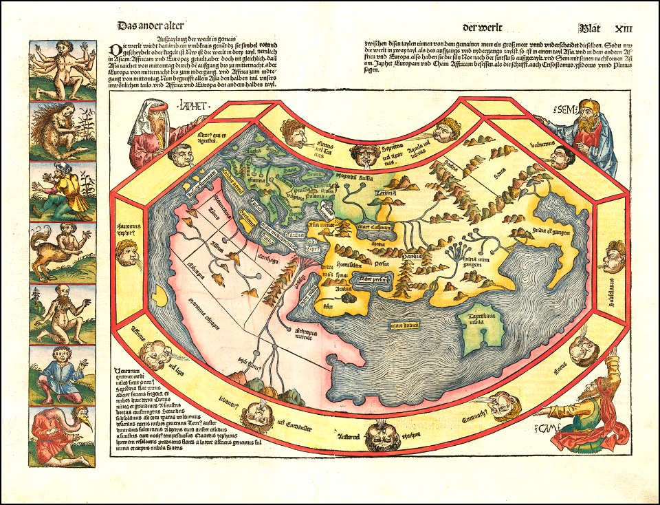
1490s maps of the world
hartmann schedel
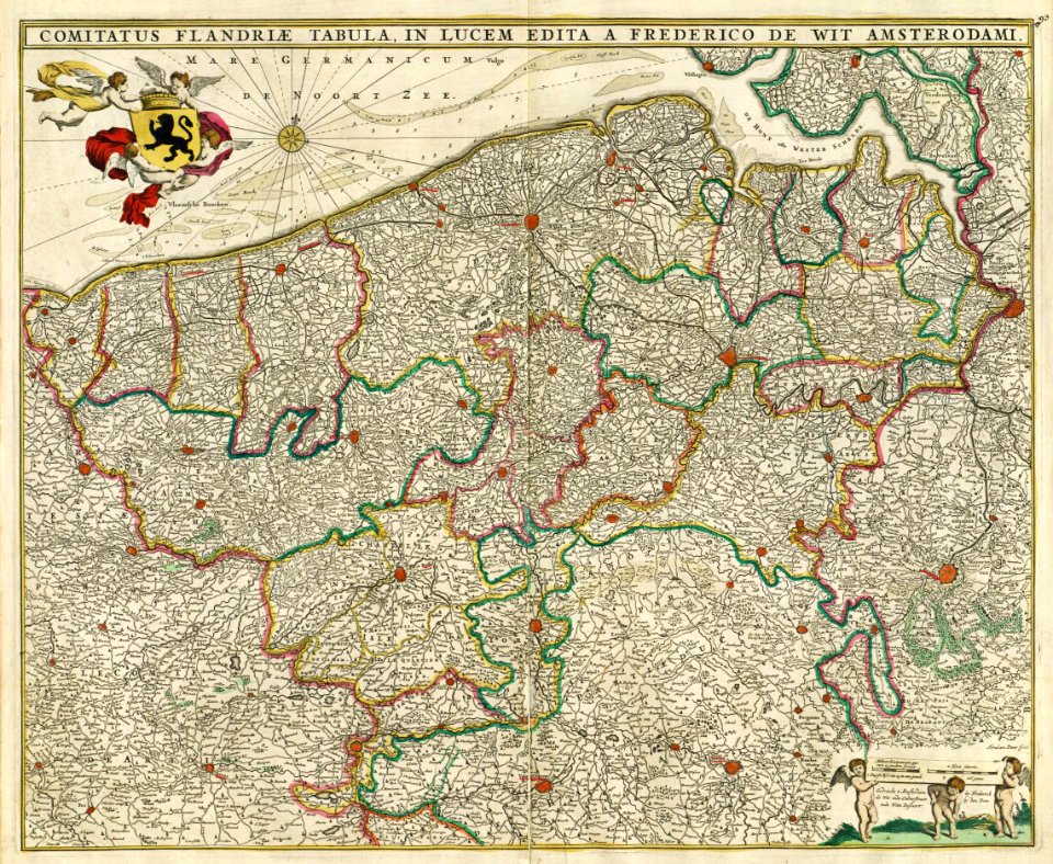
maps by frederick de wit
1680s maps of belgium
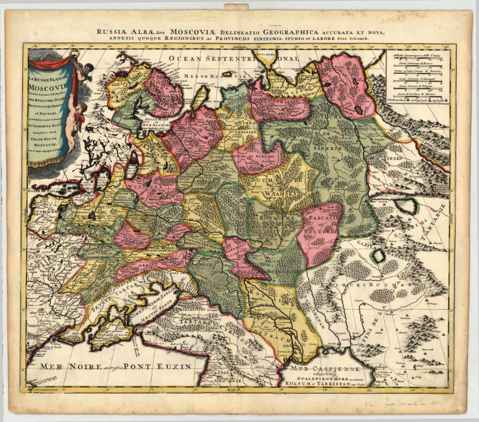
maps by pieter schenk (i)
1685 maps of russia
1590s maps of the world
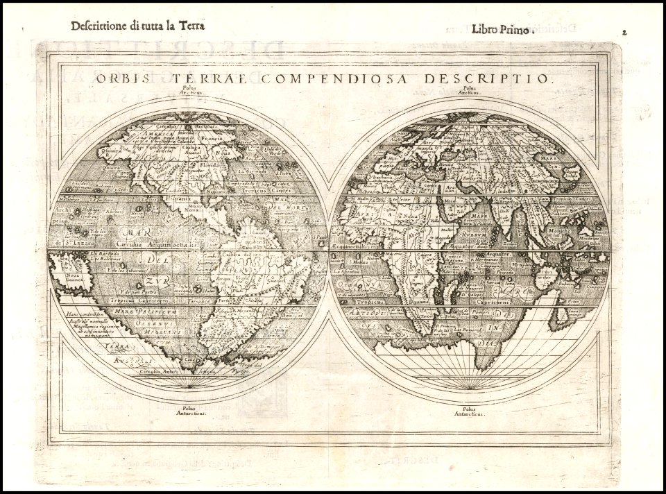
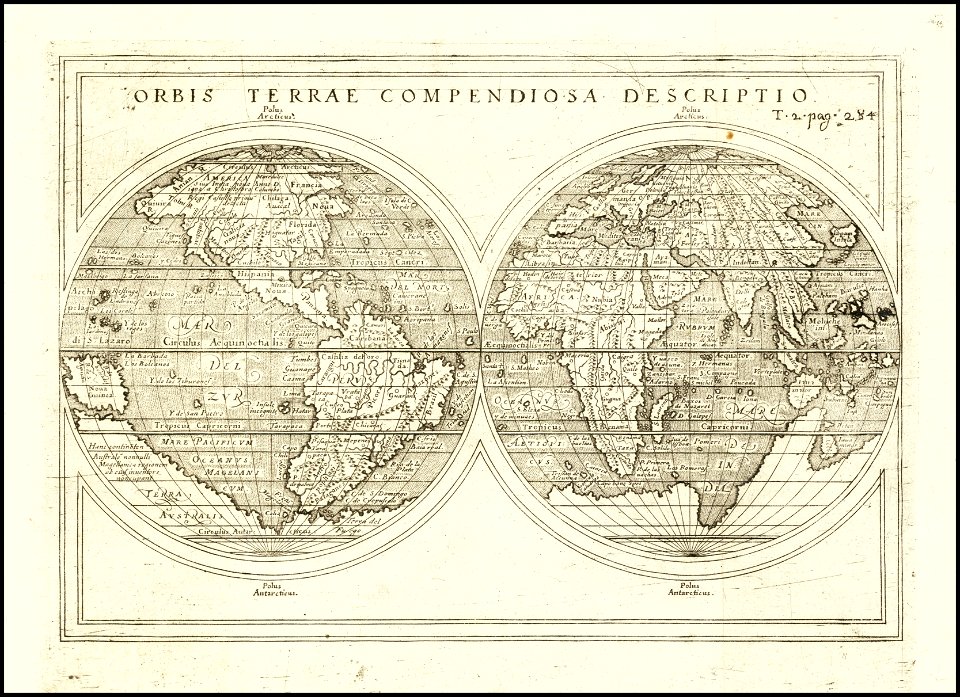
giuseppe rosaccio
1590s maps of the world
giuseppe rosaccio
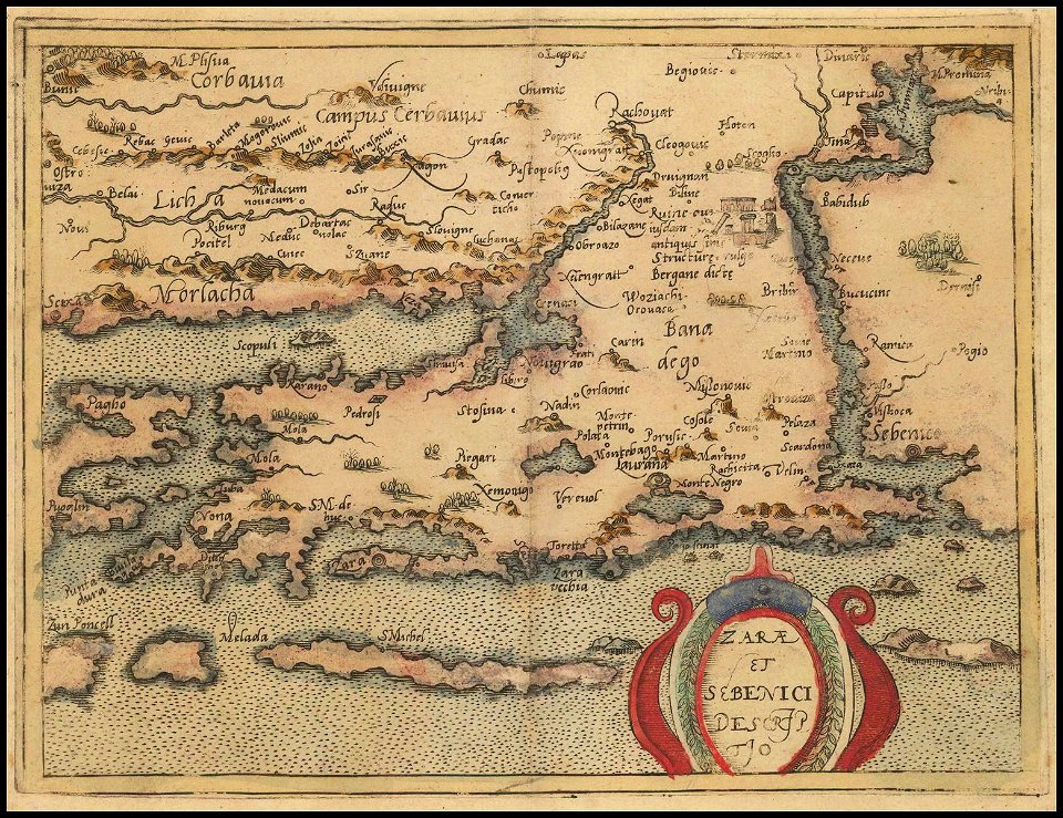
old maps of croatia
1579 maps
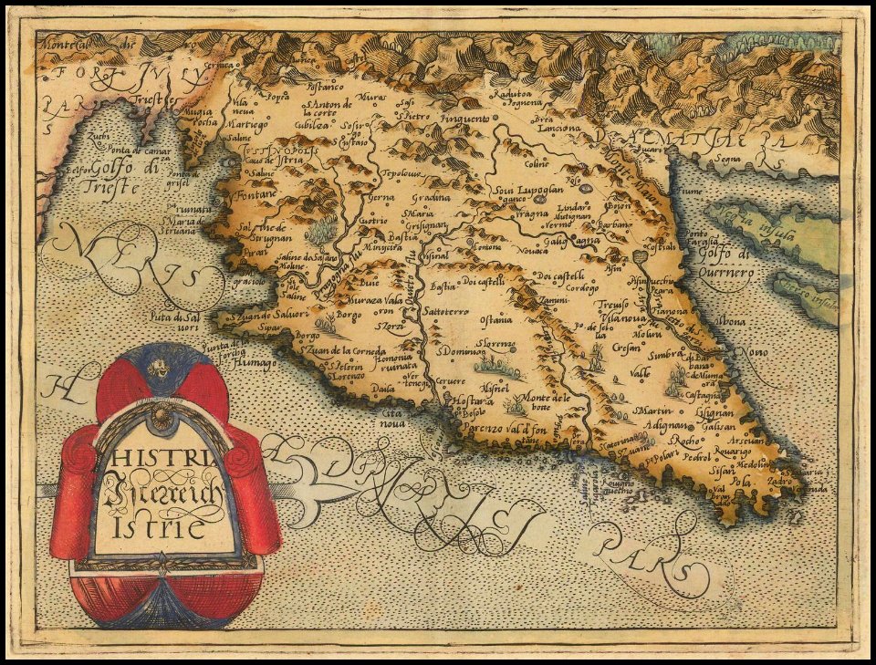
old maps of istria
1579 maps
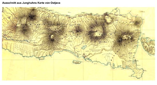
maps by franz wilhelm junghuhn
maps of east java
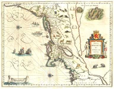
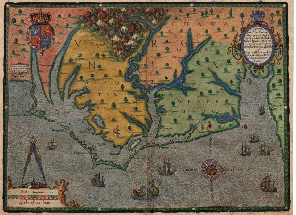
old maps of virginia
theodor de bry
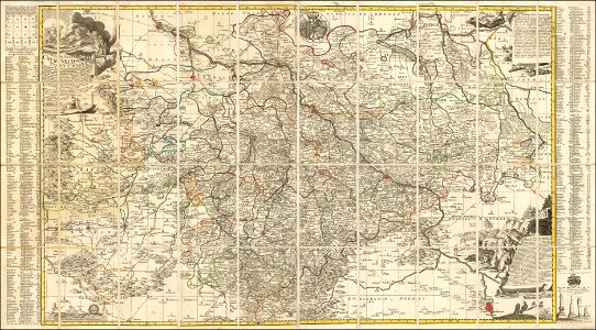
old maps of saxony
1760 maps
matthäus merian
1672 maps
maps by jacob van deventer
old maps of friesland
1876 maps
lemuria
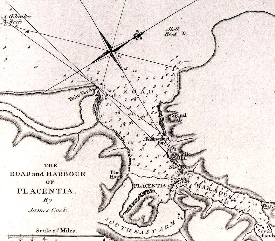
james cook (maps relating to)
old maps of newfoundland
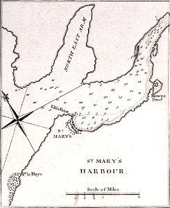
james cook (maps relating to)
old maps of newfoundland
james cook (maps relating to)
old maps of newfoundland
maps of polders in north holland
maps of haarlemmermeer
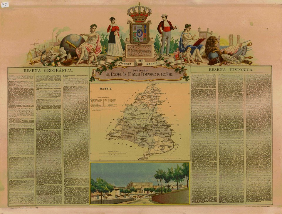
old maps of the community of madrid
1868 maps
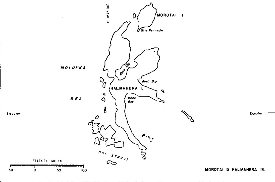
old maps of indonesia
halmahera
maps by frederick de wit
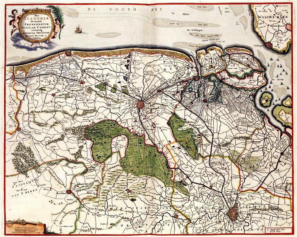
old maps of flanders
2701 - 2800 of 183,459
Next page
/ 1835